May – October · dry season
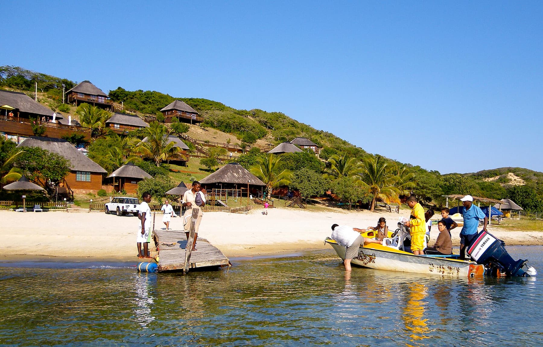
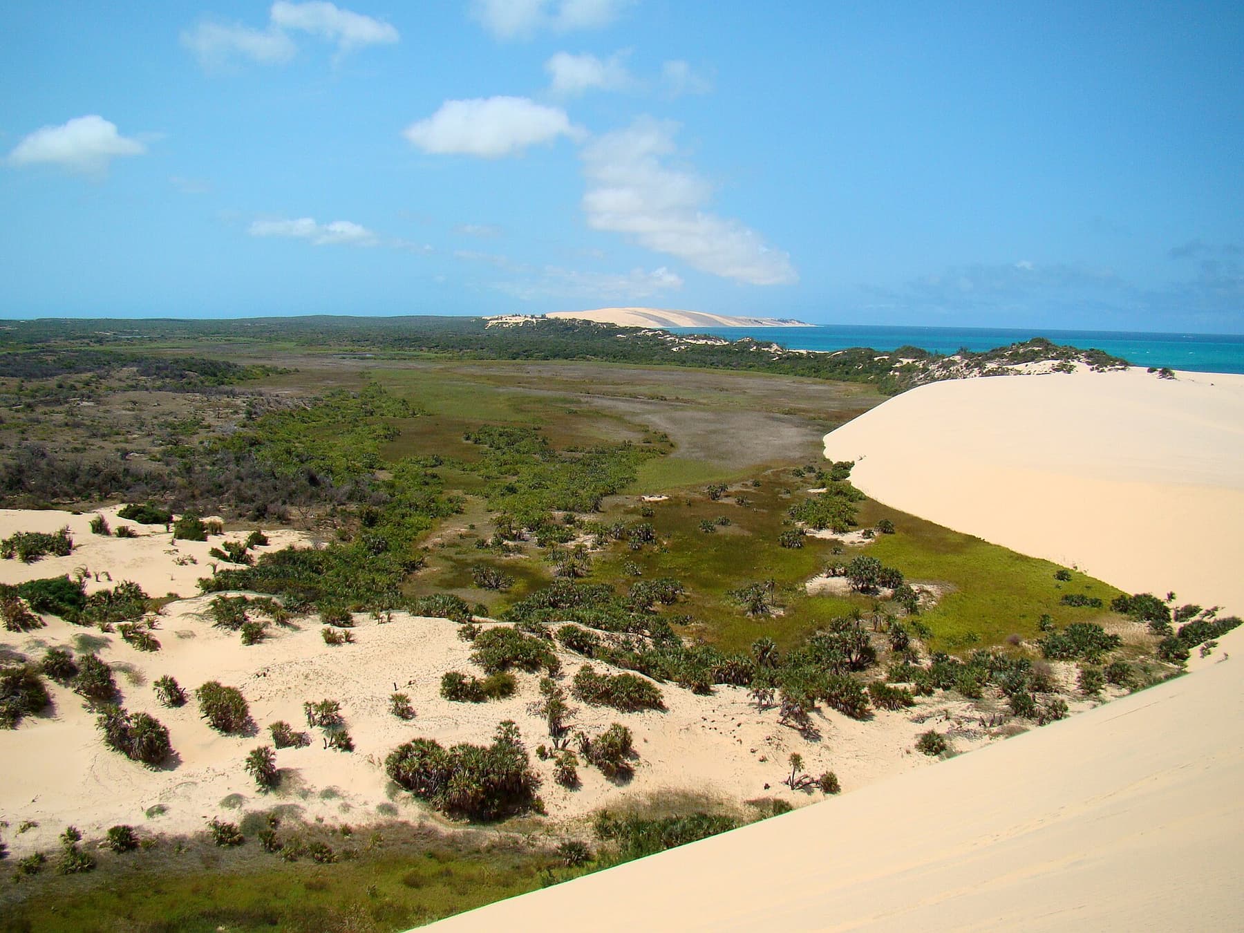
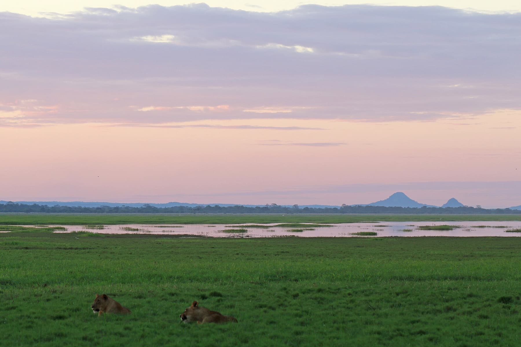
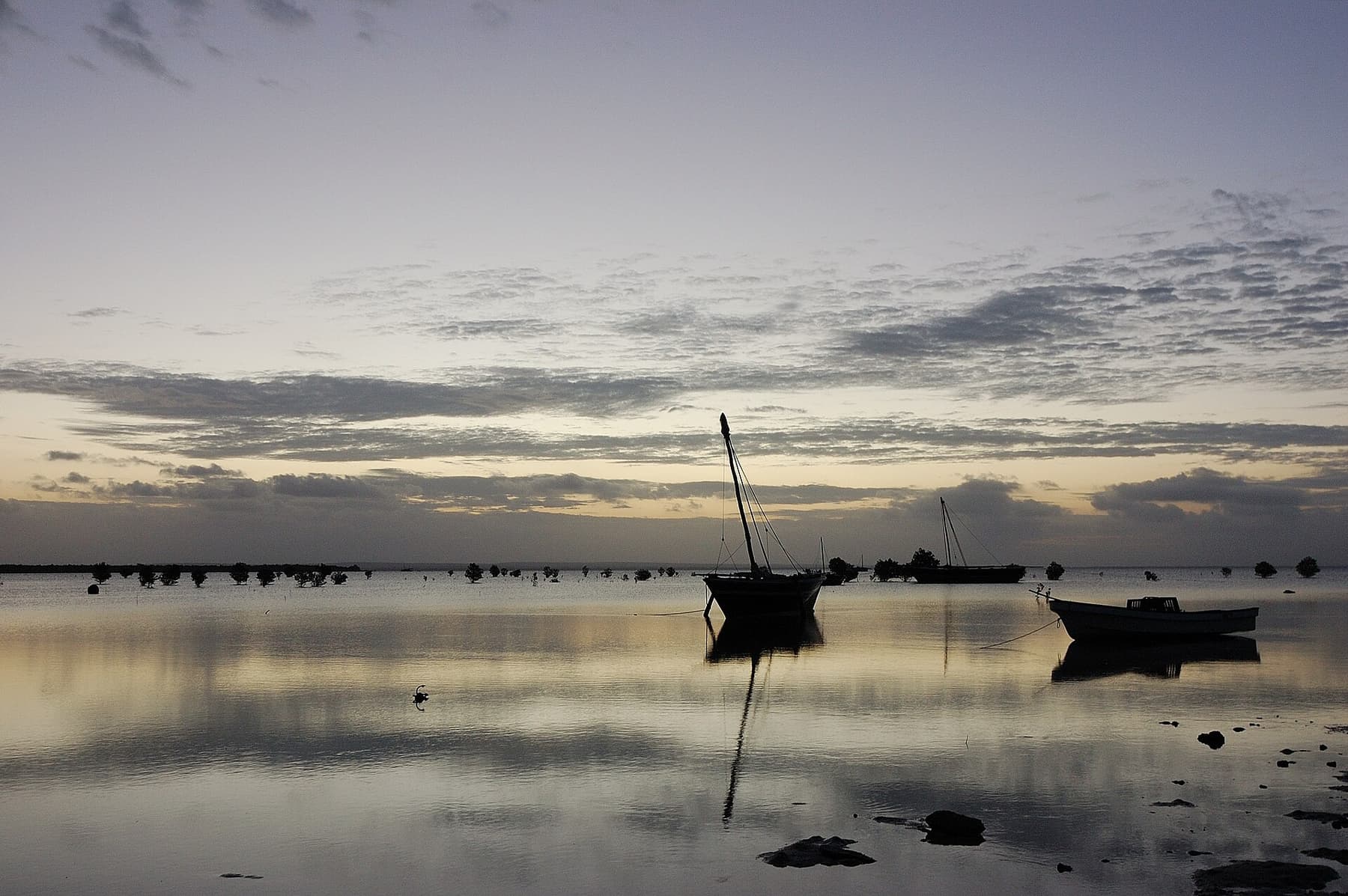
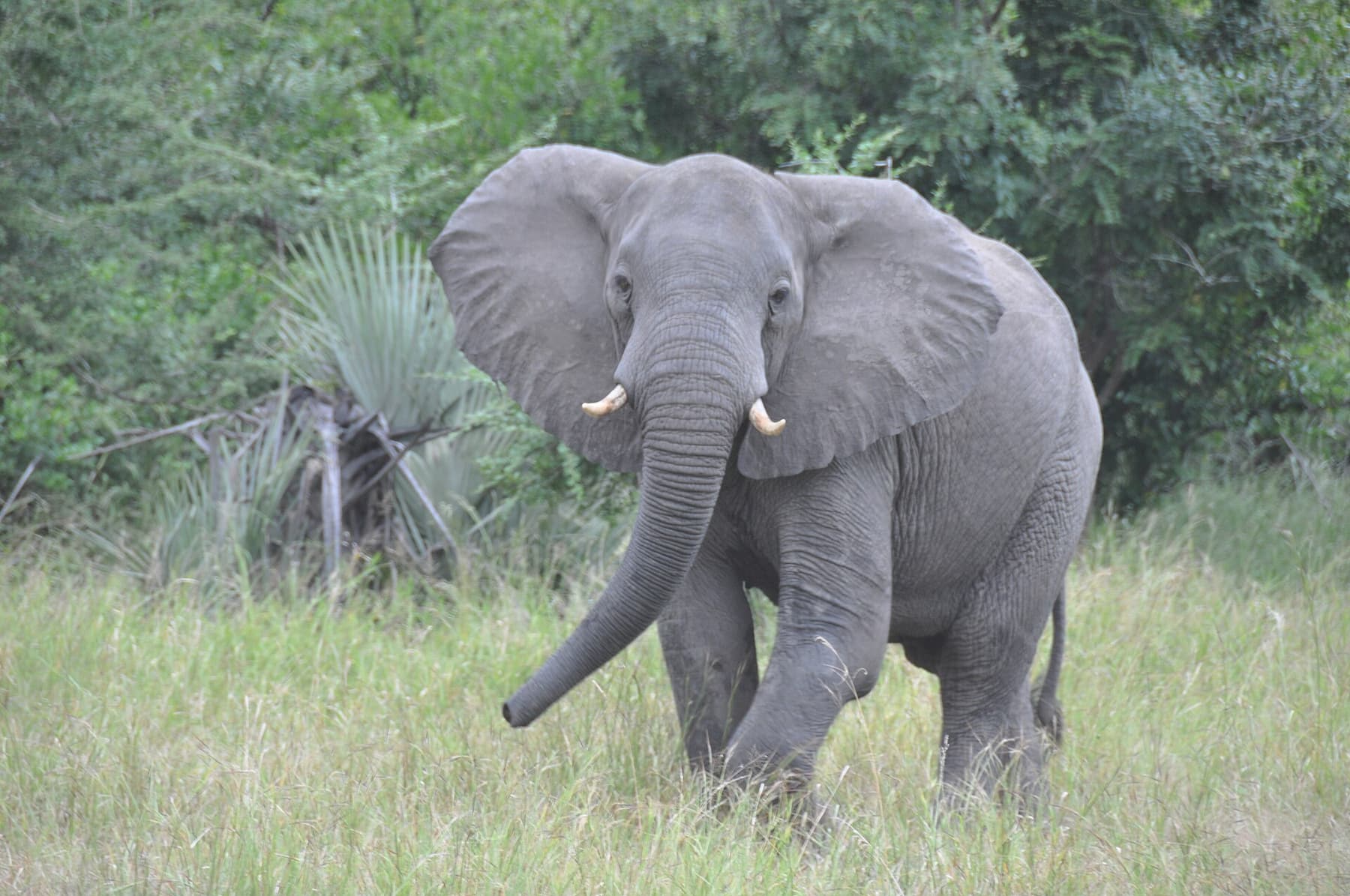
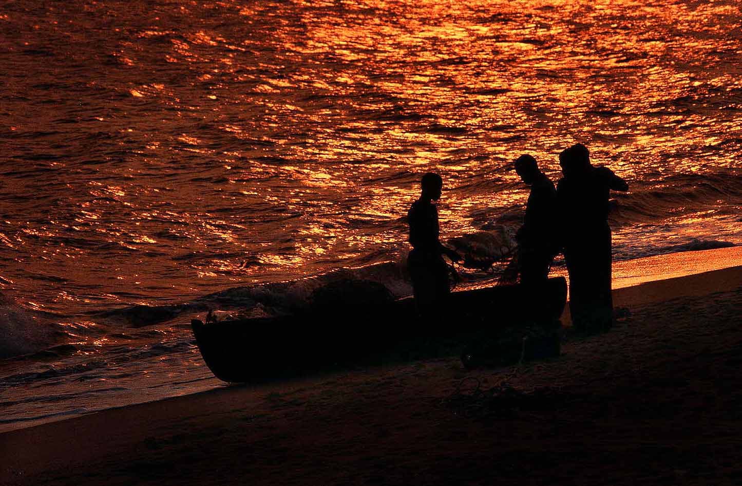
Cooler, drier and the most reliable window for the whole country. Best visibility for diving, easiest game viewing in Gorongosa and Niassa, calm seas for dhow trips in the Quirimbas and Bazaruto.
About Mozambique
A long, narrow country of coral islands, flooded savannah, granite mountains and Swahili trading towns — with a coastline longer than the distance from Lisbon to Warsaw.
Mozambique runs down the south-east edge of Africa for some 2,700 kilometres, from the Rovuma river on the Tanzanian border to Ponta do Ouro at the South African one. Almost everything about travelling here follows that shape: the coast is the spine, and the country changes completely as you move along it.
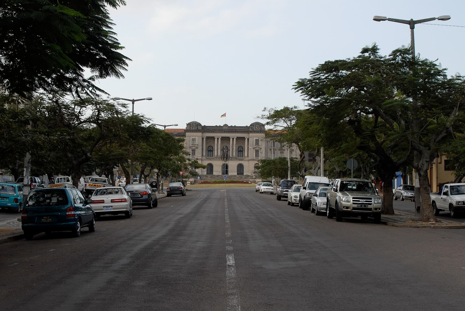
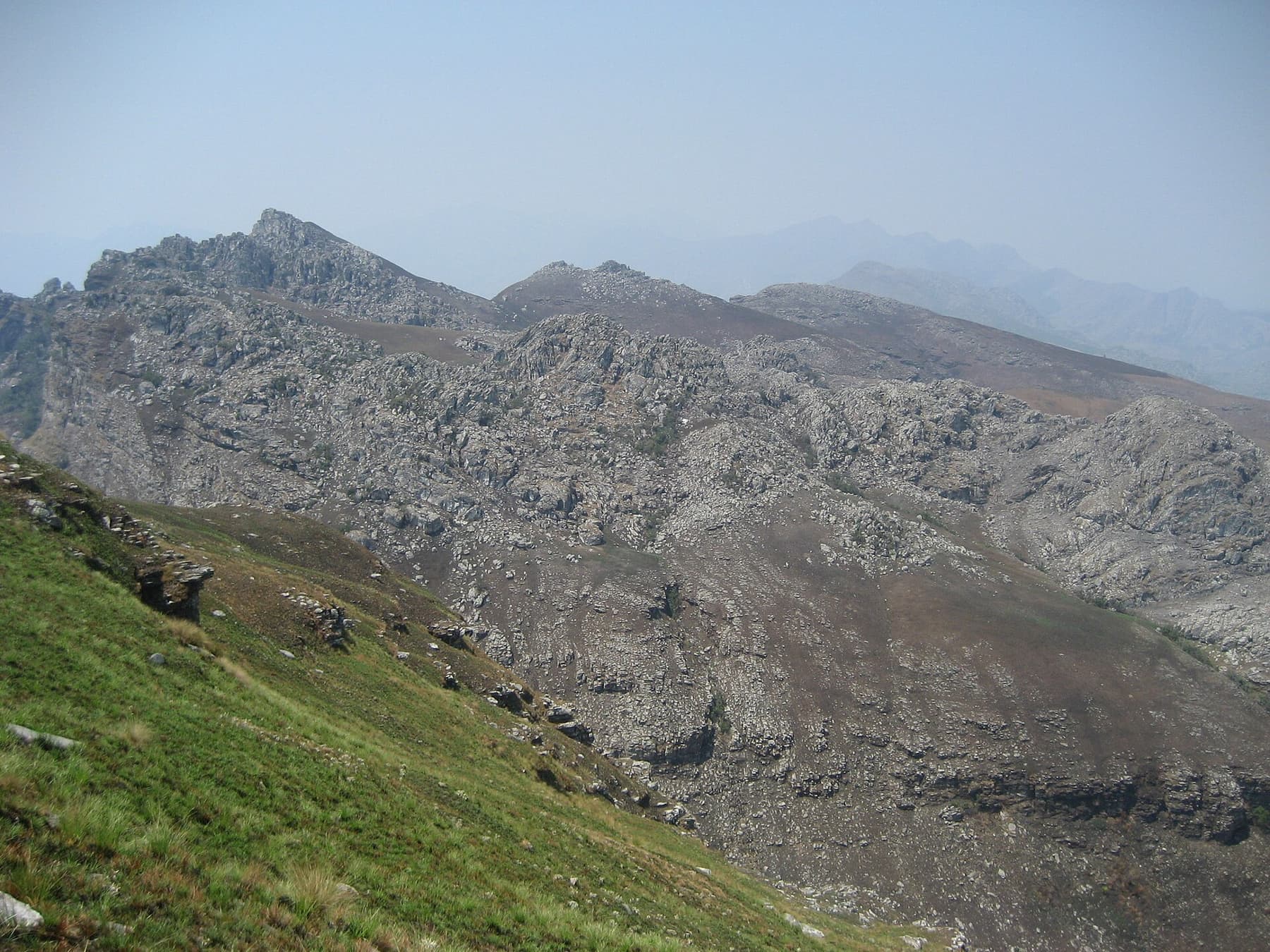
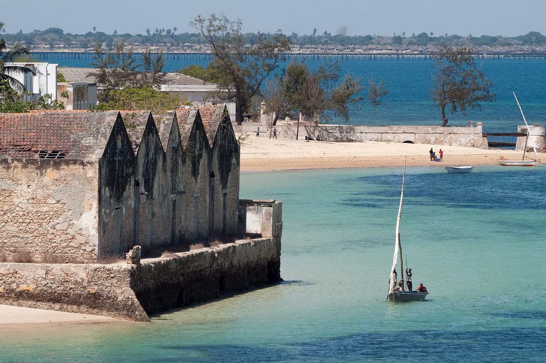
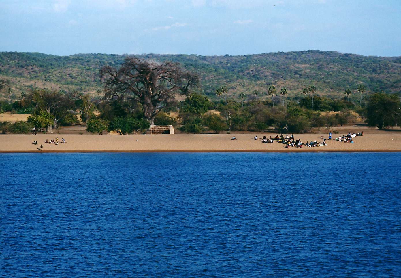
The south is the most accessible — Maputo's Art Deco streets and markets, the lagoon at Bilene, the reefs and dolphins of Ponta do Ouro. The centre is wilder: Gorongosa National Park, the rainforest and waterfalls of Chimanimani, the Zambezi delta. The north is where the Indian Ocean takes over — Mozambique Island's stone town, the Quirimbas archipelago, Lake Niassa and the untouched Niassa Special Reserve.
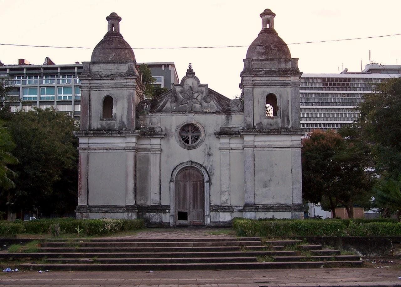
For a thousand years the ports of Sofala, Angoche and Mozambique Island traded gold, ivory and cloth with Arabia, India and China. The Portuguese arrived in 1498 and stayed until independence in 1975. What that leaves is unusual: mosques and Manueline chapels on the same island, Goan-influenced curries next to Portuguese pastries, and Swahili, Bantu and European strands in the same street.
There is no bad time to come, but there are wrong pairings — a green-season safari in a park that closes its roads, or a diving week in a month of poor visibility. The two windows below are the practical starting point.
Cooler, drier and the most reliable window for the whole country. Best visibility for diving, easiest game viewing in Gorongosa and Niassa, calm seas for dhow trips in the Quirimbas and Bazaruto.
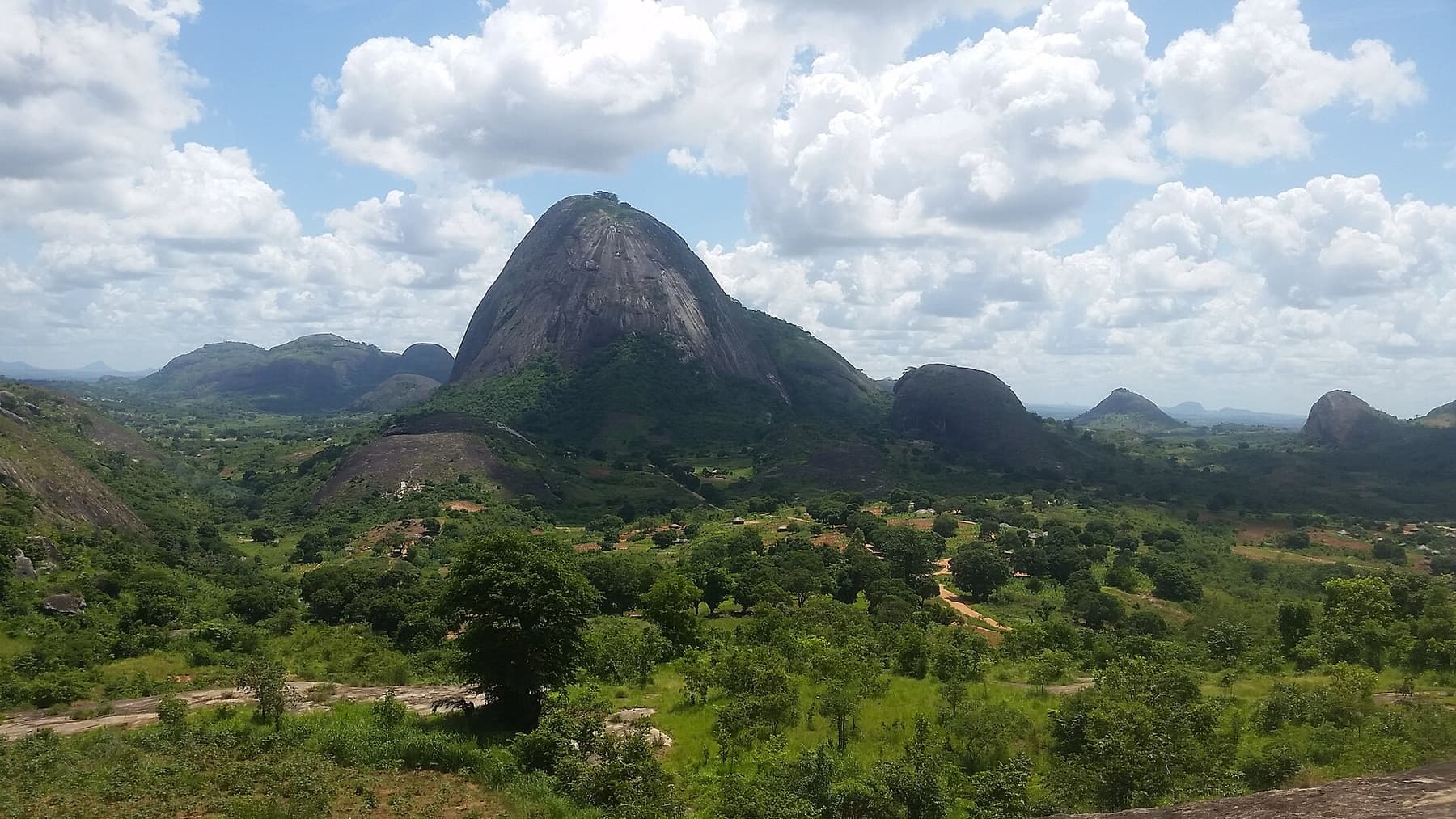
Hot and humid with afternoon rain, heaviest in the centre and north. Landscapes turn intensely green, whale sharks are around Tofo, and some roads and camps close. Cyclones are possible along the coast.
Portuguese is the official language, but Emakhuwa, Xichangana, Elomwe, Cisena and around forty others are spoken at home. English is common in tourism areas in the south and around the islands.
Marrabenta from the south, timbila xylophone orchestras of the Chopi people (recognised by UNESCO), and the mapiko masked dances of the Makonde in the far north.
The capulana — a printed cotton wrap — is worn, carried, gifted and tailored everywhere. Makonde blackwood carving and Nampula silverwork are long traditions.
Peri-peri prawns, matapa cooked with cassava leaf and coconut, grilled fish, pãozinho bread and strong coffee: a Portuguese, Indian Ocean and African kitchen at once.
Each one has its own coast, climate and character. Start where the season suits you.